Transform
Performs different transformations of an input dataset
INPUT
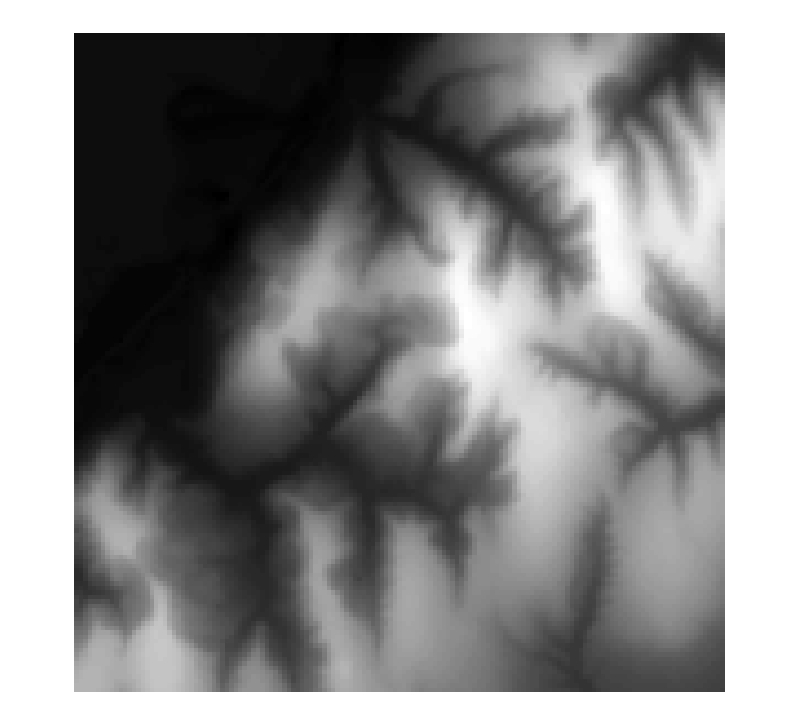
Input Data - DEM (Raster Dataset) - a grid representing a continuous surface
COMMAND
Command Call with 4 different transform methods possible
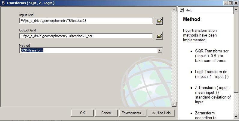
Four transformation methods have been implemented:
- SQR Transform sqr ( input + 0.5 ) to take care of zeros
- Logit Transform (ln ( input / 1 - input ) )
- Z-Transform ( input - mean input ) / standard deviation of input
- Z-Transform2 according to Wendroth et al. (2002): ( input - mean input - 2 x standard deviation of input ) / 4 x standard deviation of input
RESULTS
transformed raster dataset - a grid representing a continuous transformed surface
LOGIT transform of Input DEM

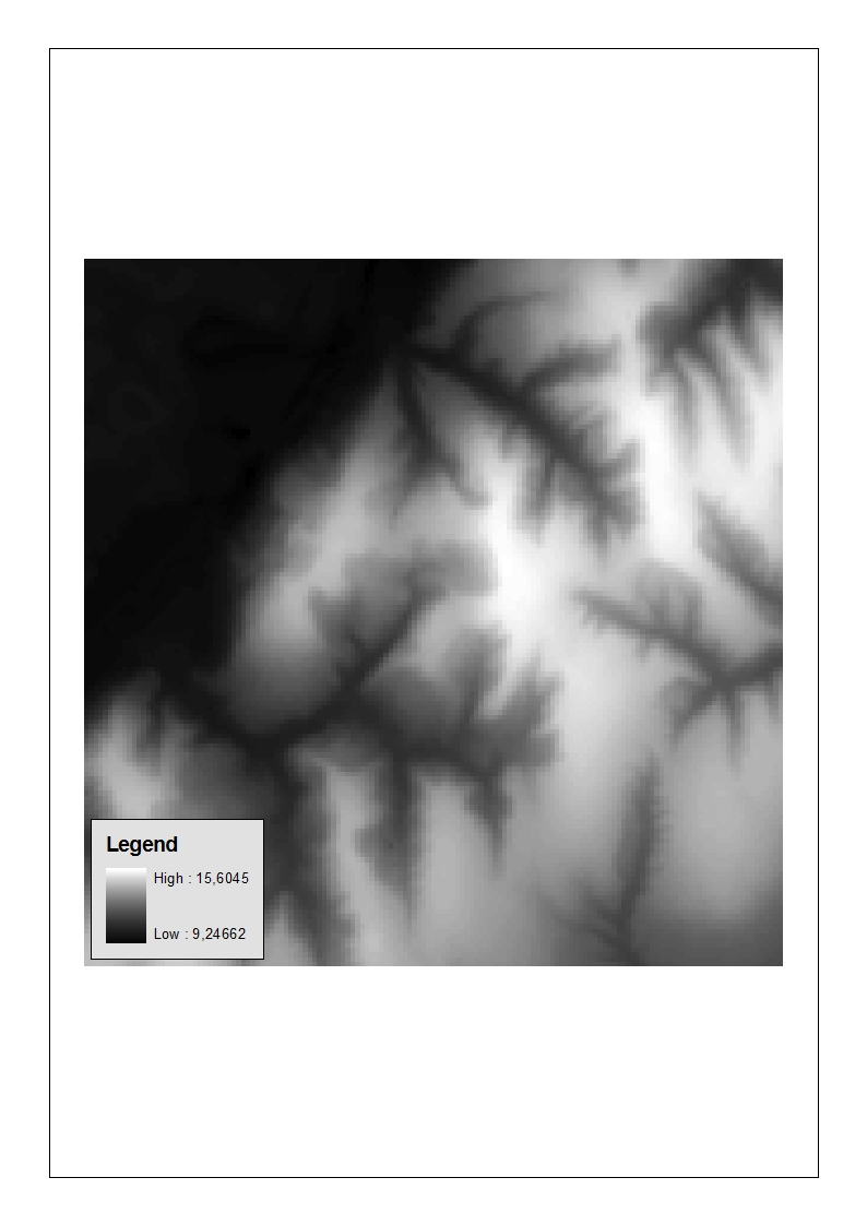
Square Root transform of Input DEM
Z-Transform of Input DEM
Z-Transform2 of Input DEM