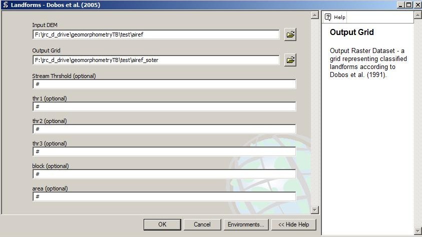
INPUT
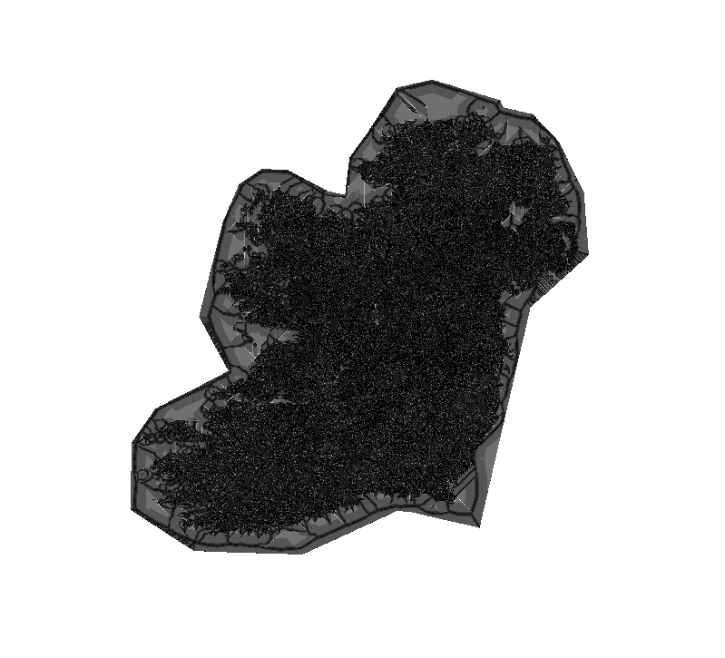
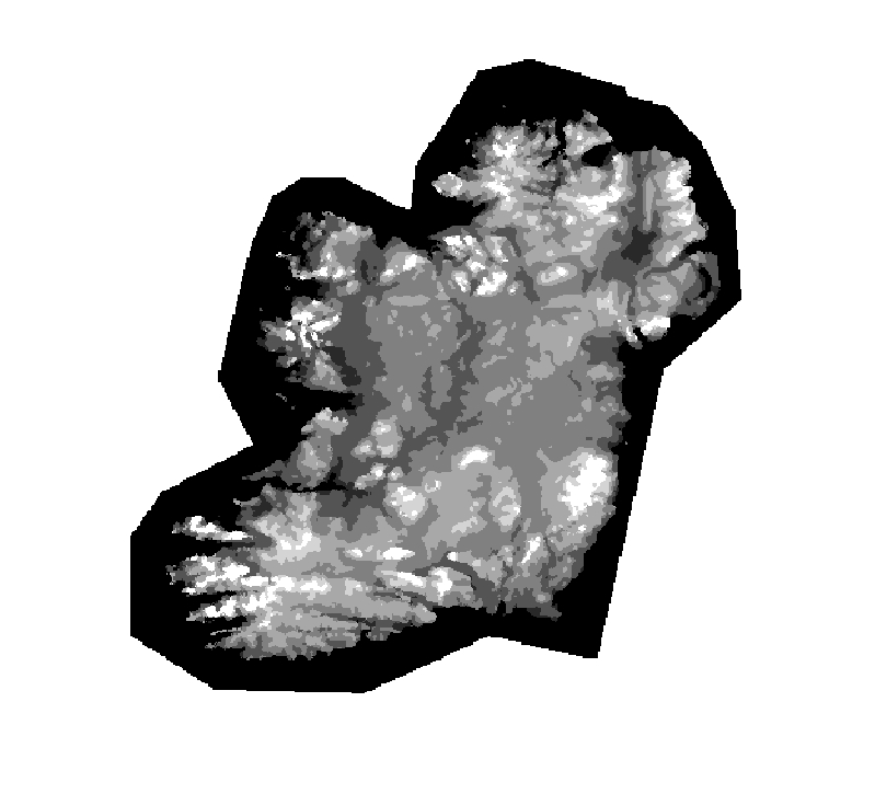
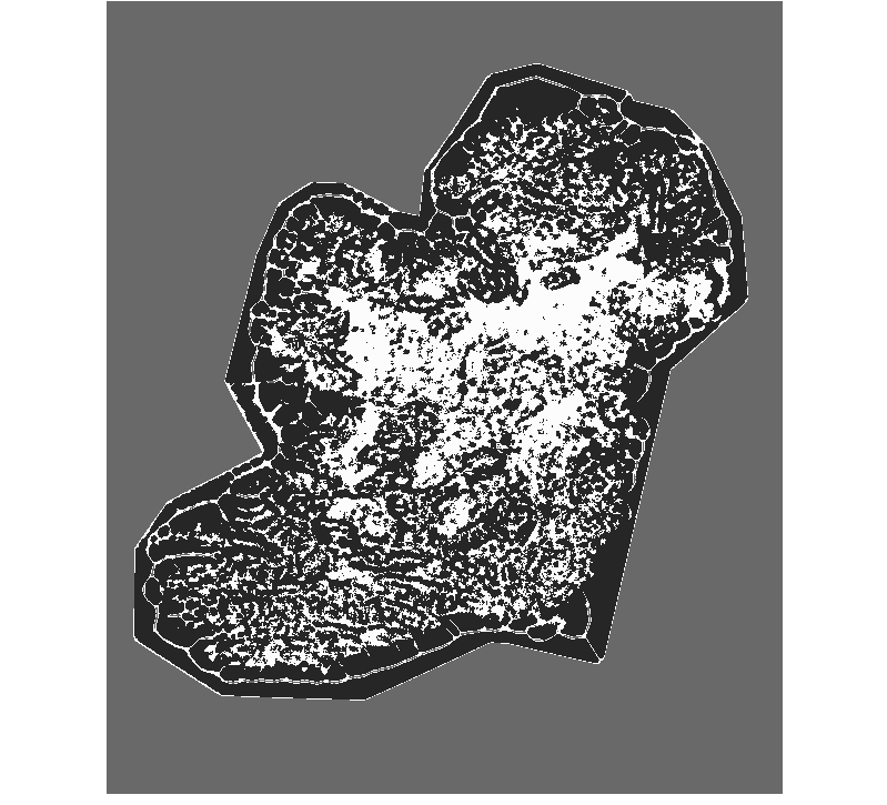
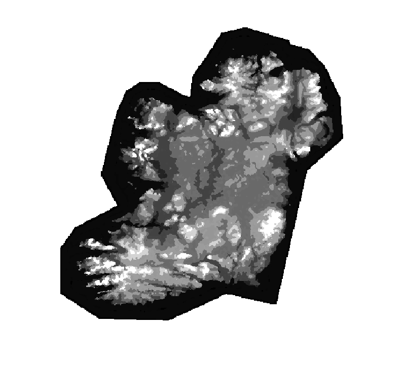
Input Data - Elevation
The algorithm derives from the elevation slope and stream network parameter. It is highly recommend to run topo first to check for your stream delineations.
COMMAND
Command Call with default stream threshold (100 cells)
RESULTS
Flow direction of Input DEM
Flow accumulation of Input DEM
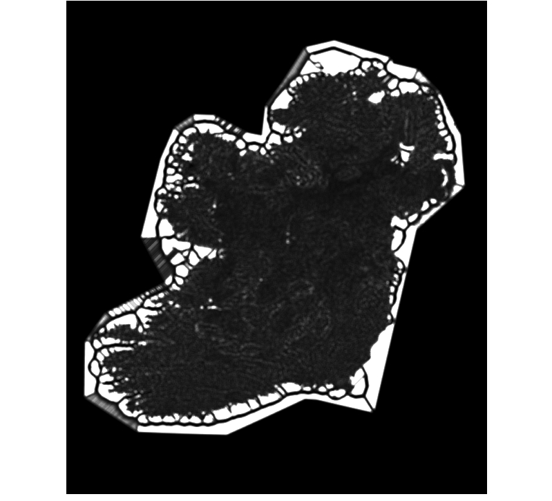
Stream network
Stream link network
Stream order
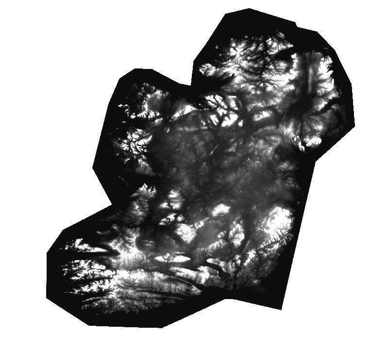
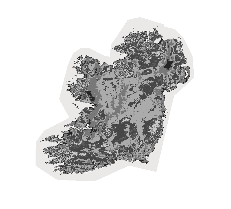
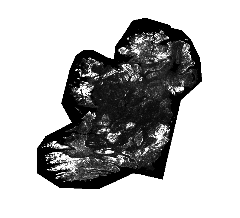
Slope of Input DEM

Hypsometry aggregated (block parameter)
Hypsometry classified (classification table in python code)
PPD calculated
PPD aggregated (block parameter)
PPD classified (classification table in python code)
Relief intensity
Relief intensity aggregated (block parameter)
Relief intensity classified (classification table in python code)
Slope aggregated (block parameter)
Slope classified (classification table in python code)
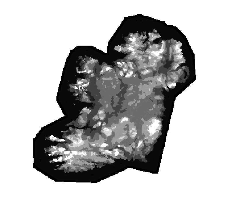
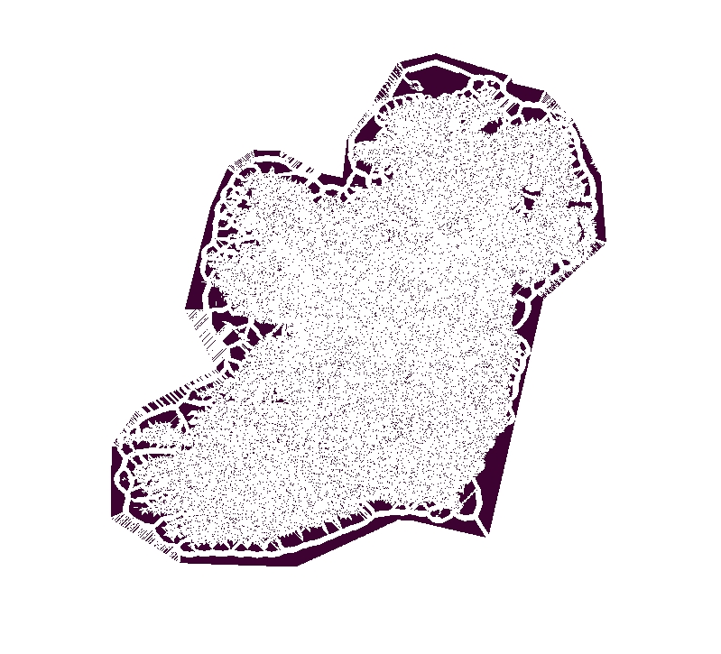
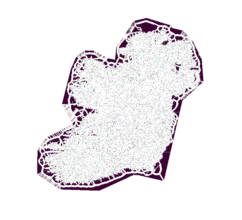
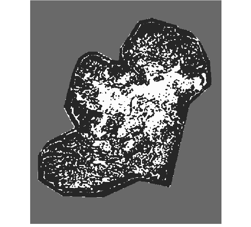
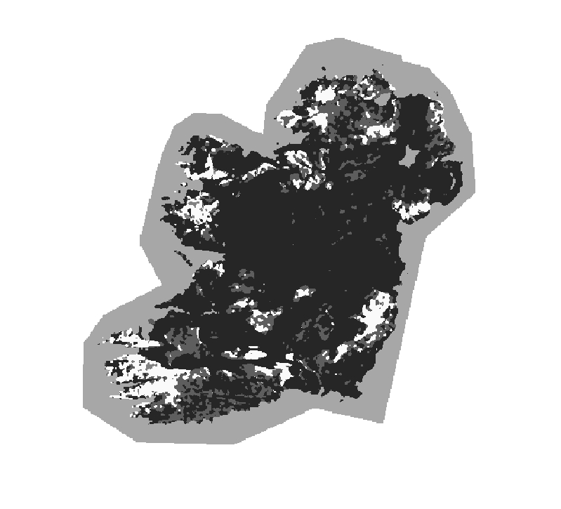
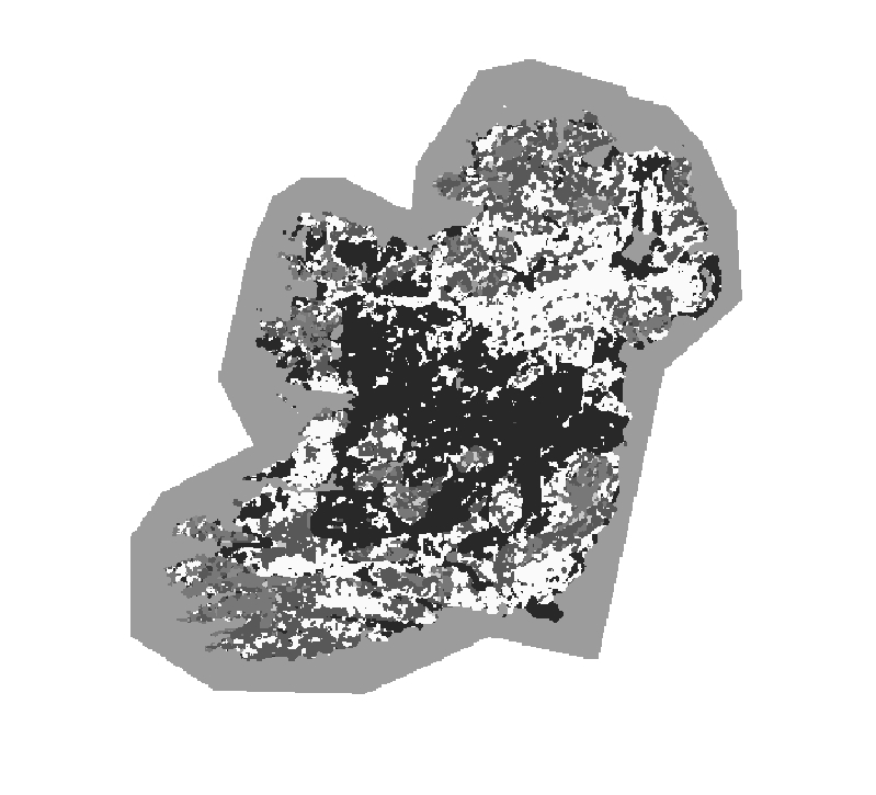
RAW SOTER units
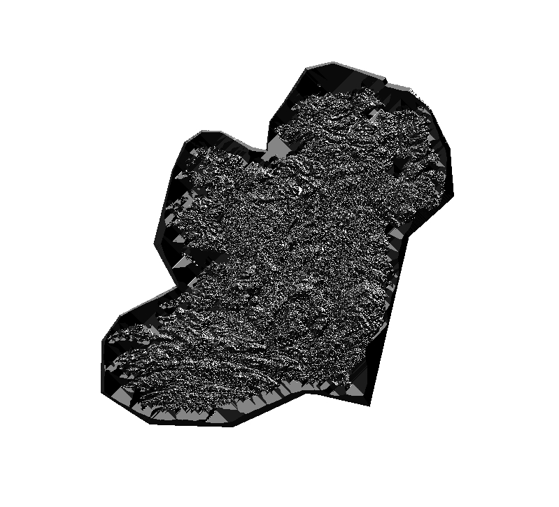
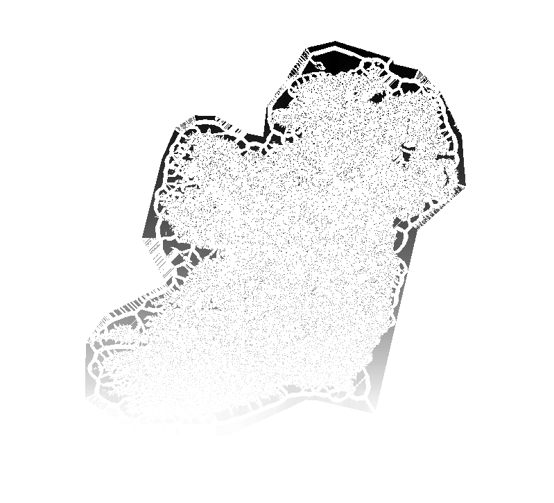
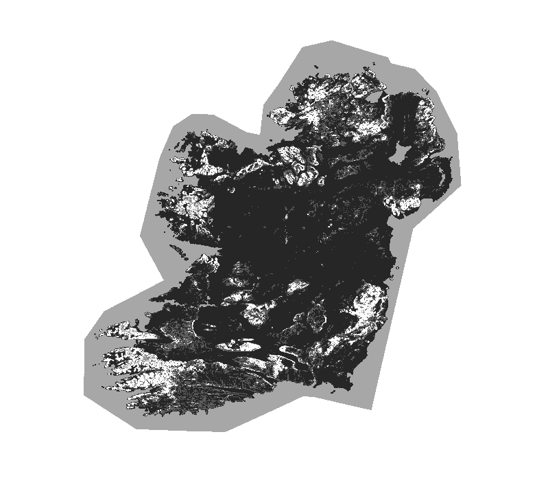
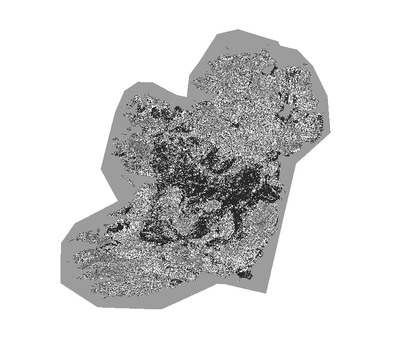
Final (filtered) SOTER landform units (Area Threshold)