INPUT
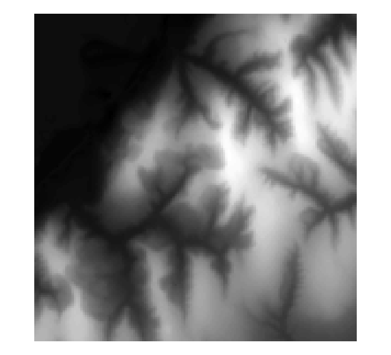
Input Data - Elevation
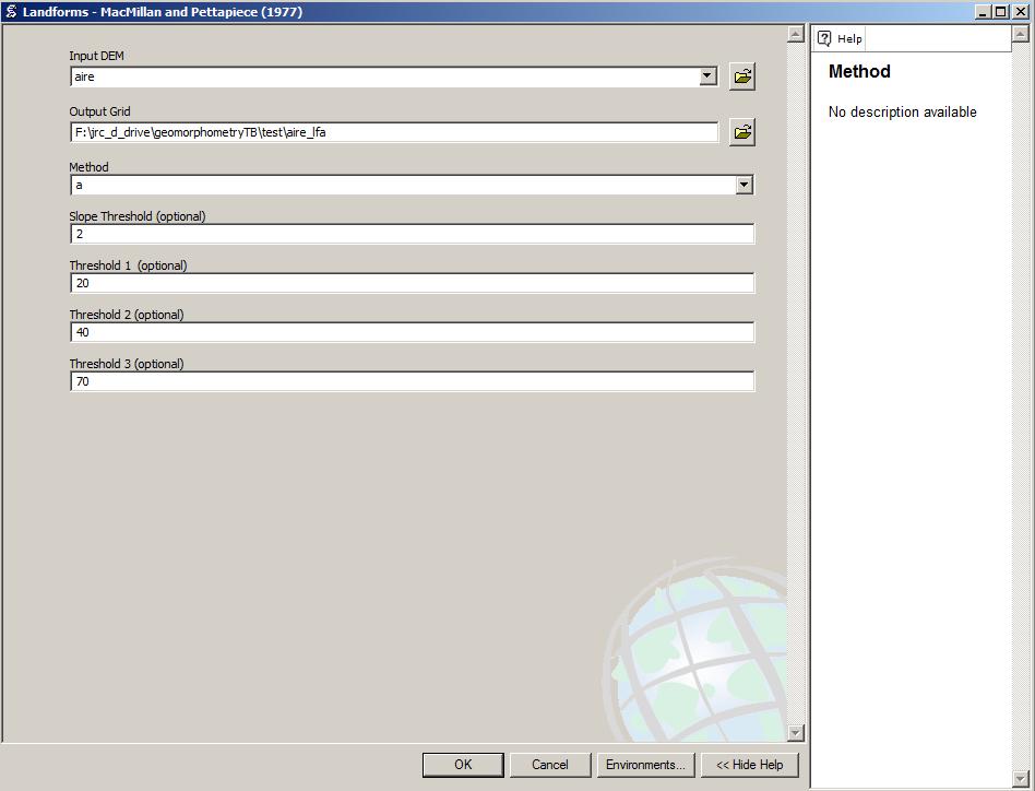
The algorithm derives from the elevation slope and pctg1 parameter. It is highly recommend to run topo first to check for your watershed delineations.
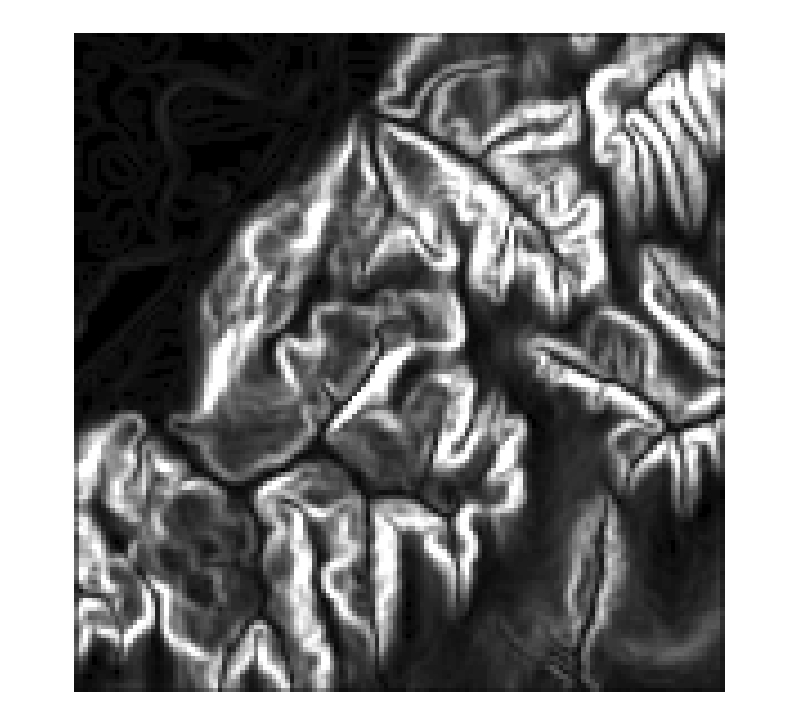
Slope
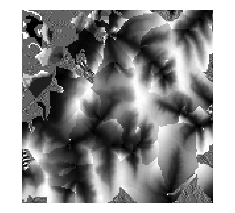
Percentage1 within a watershed
COMMAND
Command Call with slope threshold set to 2 degrees.
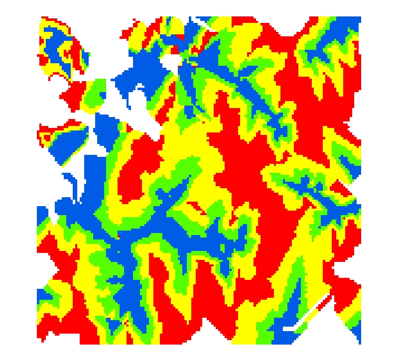
RESULTS
4 class landform classification result