Worldwide Data sets:
SRTM
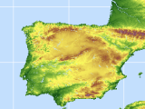
SRTM was originally created by NASAV4. CIAT together with JRC has created an void filled product. "The SRTM digital elevation data provided on this mirror has been processed to fill data voids, and to facilitate its ease of use by a wide group of potential users." We developed an extended methodology to find the optimal void fill method (Reuter et al.,2007). This data is available from srtm.csi.cgiar.org/ or the srtm.jrc.ec.europa.eu/
ICESAT
GLAS/ICESAT database. We downloaded laser altimeter data(GLA14) (up to Feb 2007) from NASA's ICESAT server and converted them to 30x30 degree tiles in arcinfo cover format. Each point represents the height of a 70m (50m for times where laser3 was firing) ground circle, spaced approximately 170m apart. Please note that data are currently still hosted at the srtm web site.
ASTER GDEM
NASA/METI released on 29th of June 2009 the 30m global (83degreesNS, ~22600 scenes) ASTER GDEM based on 1,264,118 single ASTER DEMs from 1.4 million scenes in total. 95% vertical CI: 20 meters, 95% horizontal CI: 30 meters) see http://www.gdem.aster.ersdac.or.jp/
Just a couple of small hints before you use it:
>> from web site
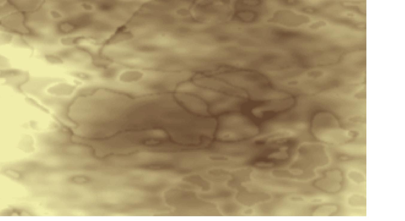
Initial studies to validate and characterize the ASTER GDEM confirm that pre-production accuracy estimates are generally achieved for most of the global land surface, although results do vary and true accuracies do not meet pre-production estimates for some areas. In addition, Version 1 of the ASTER GDEM does contain certain residual anomalies and artifacts that affect the accuracy of the product and may be impediments to effective utilization for certain applications. Consequently, METI and NASA acknowledge that Version 1 of the ASTER GDEM should be viewed as experimental or research grade. Nevertheless, they are confident that the ASTER GDEM represents an important contribution to the global earth observation community.
<<
As we had the possibility to evaluate 5 tiles (IEEE publication.), here are some of the errors you may find:
The errors described all depend on your tile ... Data can be downloaded from JAPAN/METI at http://www.gdem.aster.ersdac.or.jp/ or LP DAAC -> https://wist.echo.nasa.gov/~wist/api/imswelcome/.
ASTER MOSAIC
We developed a routine to co-register any given DEM to a reference surface and mosaic them together on a cluster computer. We performed a test on a small subset of ~4000 ASTER Scenes and create a quite patchy ASTER Mosaic, which included Mean, Min, Max and Number of scenes as well as an ERROR ESTIMATE for EACH single pixel. Version 1 is available from here. Another 1000 Scenes are processed and will be incorperated in a V2. If you have data to contribute to this effort, please get in contact with me.